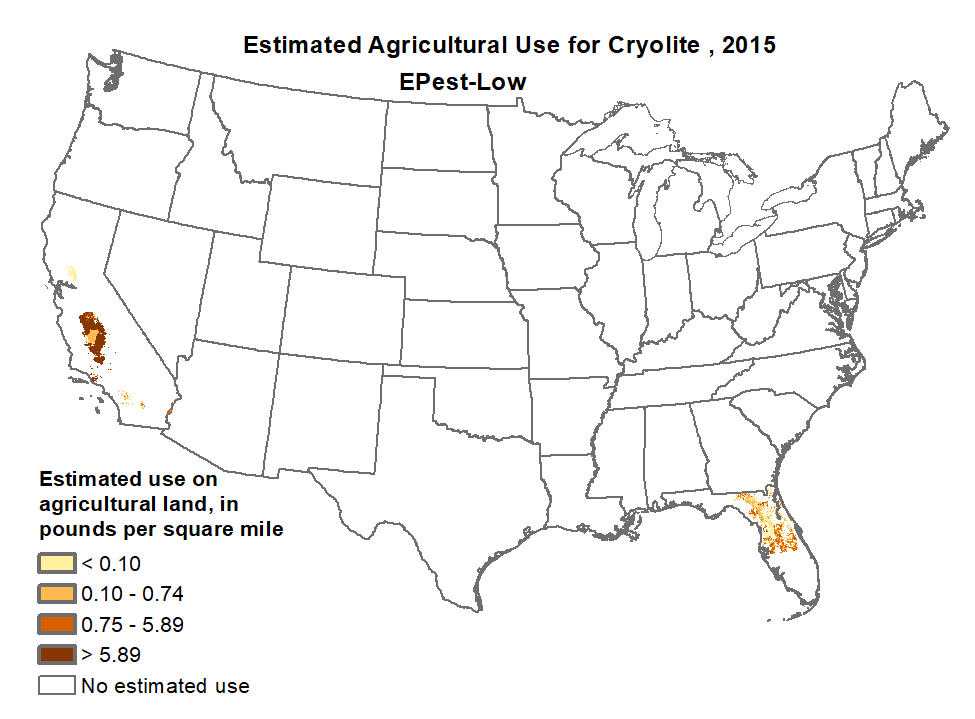
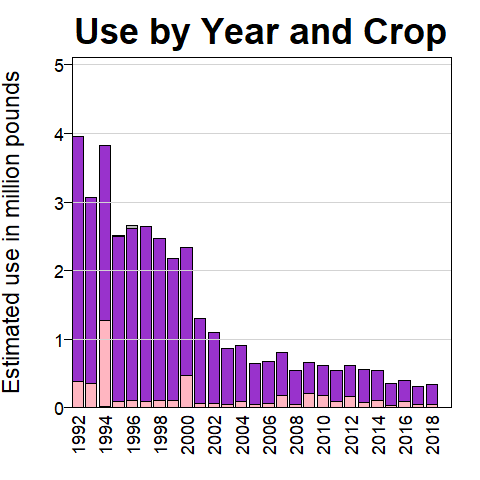
Cryolite Use by Year: 1992, 1993, 1994, 1995, 1996, 1997, 1998, 1999, 2000, 2001, 2002, 2003, 2004, 2005, 2006, 2007, 2008, 2009, 2010, 2011, 2012, 2013, 2014, 2015, 2016, 2017

pesticide use map

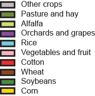
barplot pesticide use map

Epest-High
Epest-Low

CAUTION:
State-based and other restrictions on pesticide use were not incorporated into EPest-high or EPest-low estimates. EPest-low estimates usually reflect these restrictions because they are based primarily on surveyed data. EPest-high estimates include more extensive estimates of pesticide use not reported in surveys, which sometimes include States or areas where use restrictions have been imposed. Users should consult with State and local agencies for specific use restrictions.

Accessibility FOIA Privacy Policies and Notices

Take Pride in America home page. FirstGov button U.S. Department of the Interior | U.S. Geological Survey
* Original Online at http://water.usgs.gov/nawqa/pnsp/usage/maps/show_map.php?year=2015&map=CRYOLITE&hilo=L&disp=Cryolite
Page Contact Information: gs-w_nawqa_whq@usgs.gov